Draw the site to scale
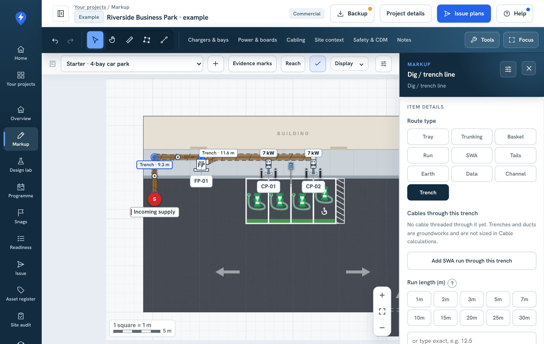
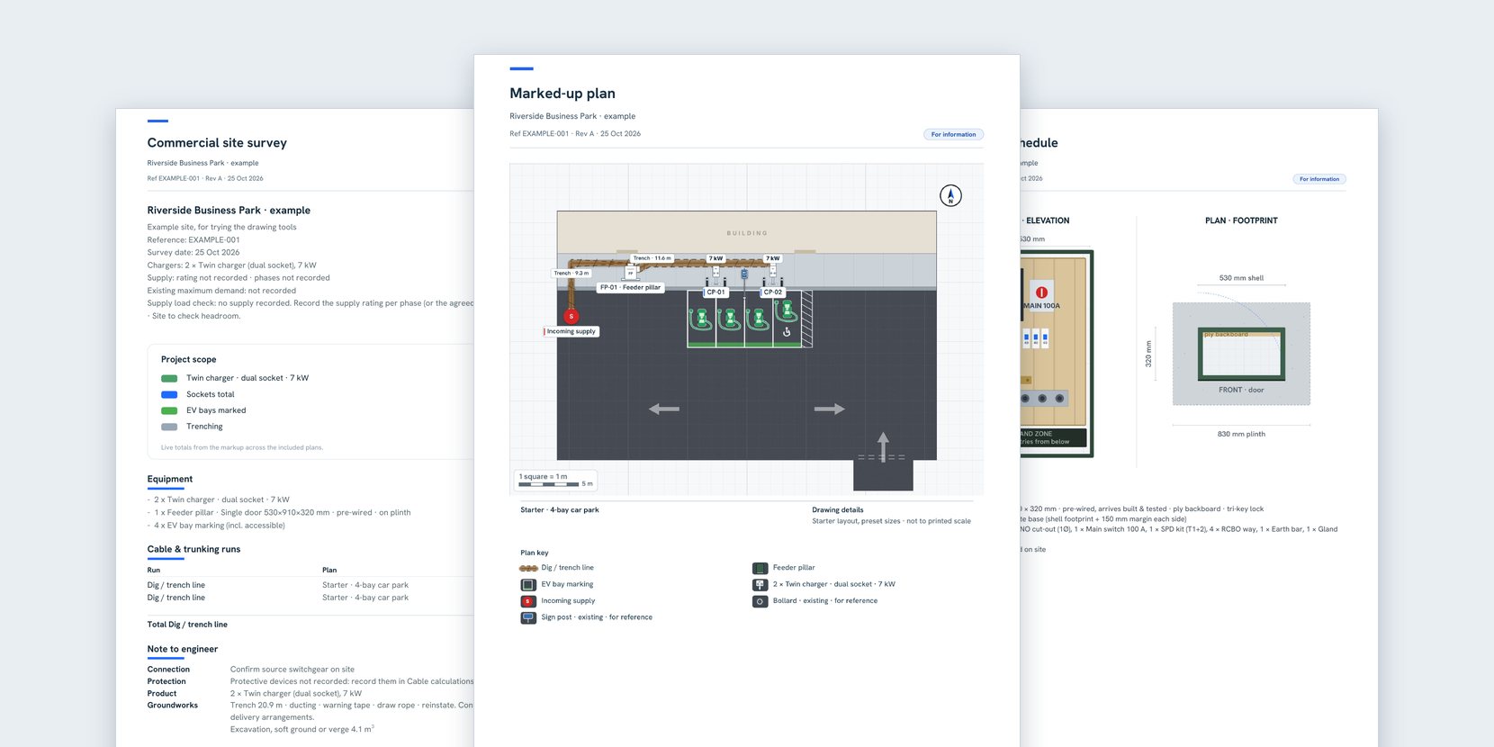
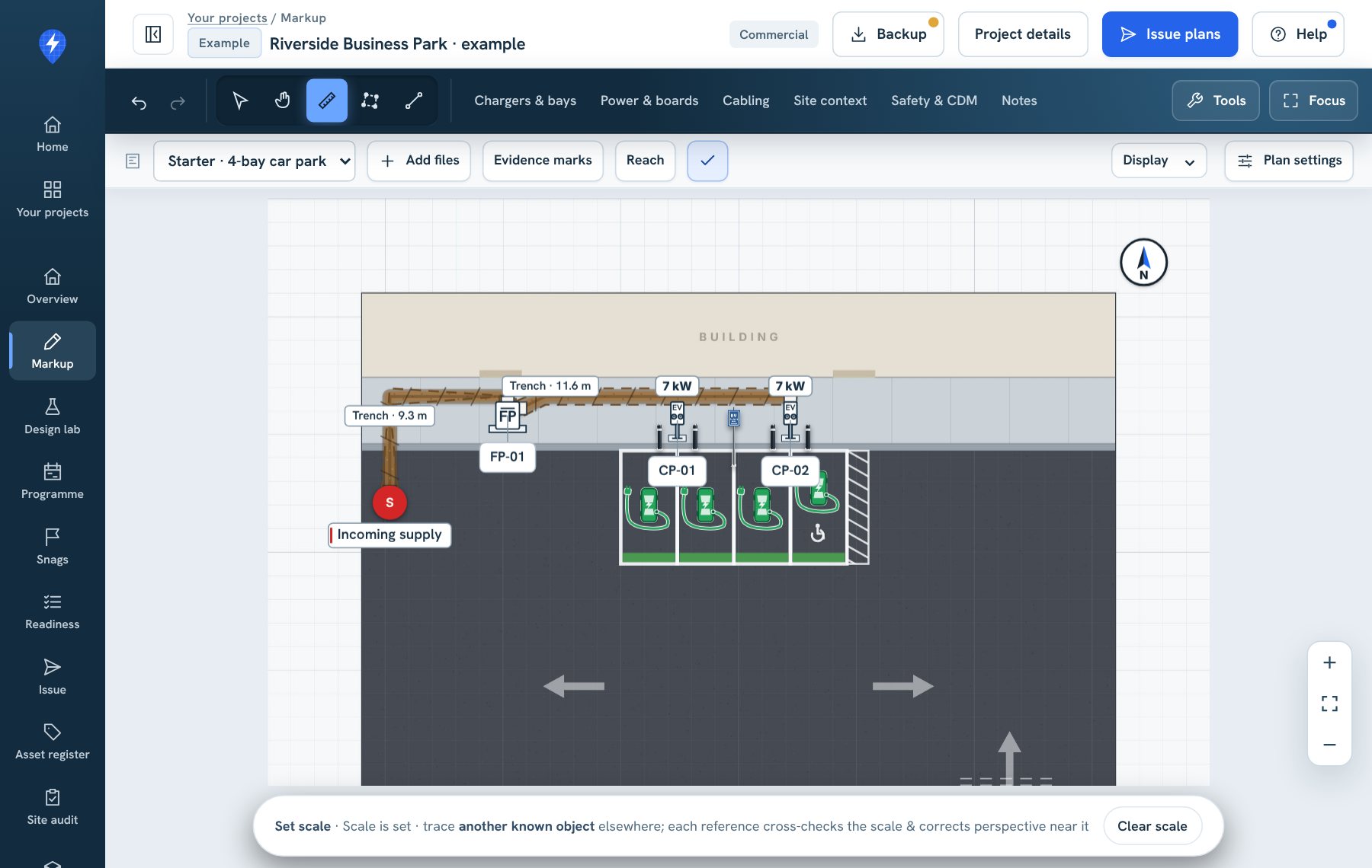
- A scaled plan from a site photo, PDF drawing or map
- Satellite, street or Ordnance Survey map from a postcode
- Floor plans from a scanning app or CAD file
- A tag on every plan says how it was scaled
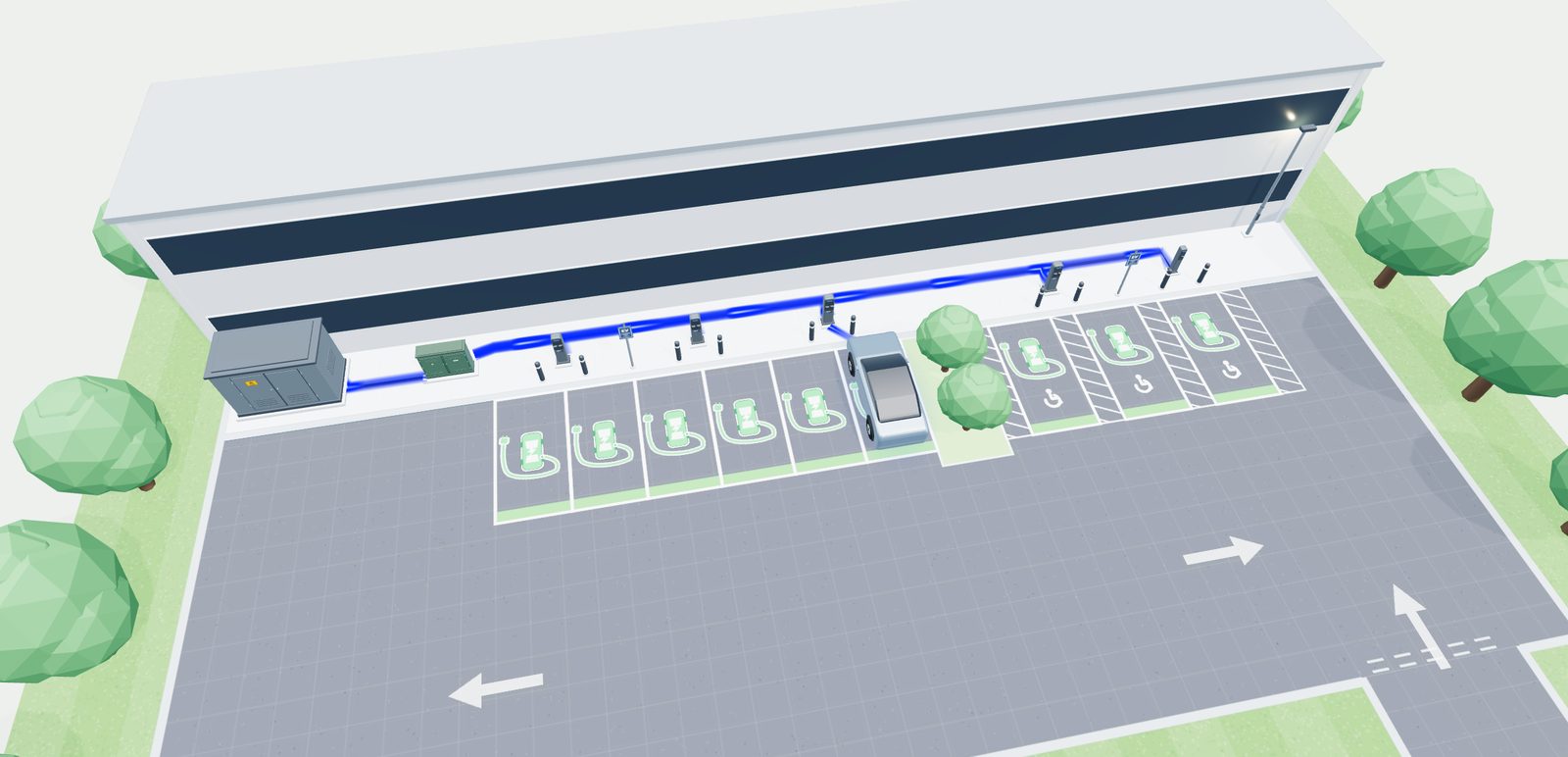
- Ready-made layouts for homes, car parks and rapid hubs
- Apple Pencil on iPad, and DXF export